It is easy to imagine great rulers as people destined for power. Isabella of Castile and Ferdinand of Aragon were not. They grew up in a world where authority was fragile, loyalties shifted quickly, and survival depended on reading people as much as events.
Isabella, born in 1451, spent much of her youth watching from the sidelines of a troubled court. Her half-brother, King Henry IV of Castile, struggled to control the nobles who surrounded him. Decisions were contested, promises broken, and factions constantly formed and dissolved. Isabella learned early that power was not something you simply held—it was something you had to claim, justify, and defend.
Ferdinand, born a year later, faced a different but equally complex reality. The Crown of Aragon was not a unified kingdom, but a collection of territories, each with its own rules and interests. His father ruled through negotiation as much as authority. Ferdinand grew up learning how to manage competing forces, how to adapt, and how to make the best of imperfect situations.
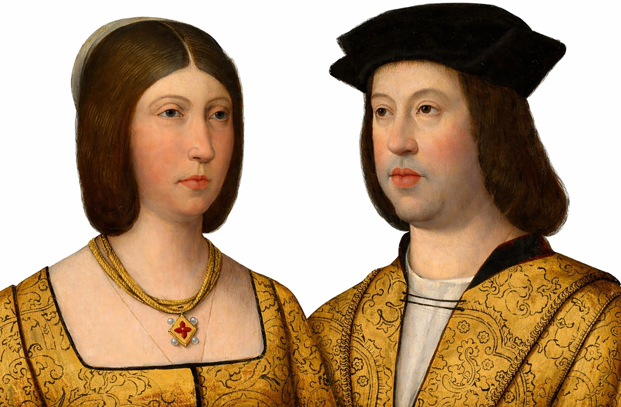
When the two married in 1469, it was not a fairy tale beginning, but a calculated decision. Isabella needed support in her uncertain claim to Castile. Ferdinand brought military strength and political skill. Together, they formed a partnership that would prove far more effective than either could have been alone.
Claiming Power, Not Inheriting It
When Henry IV died in 1474, the throne of Castile did not pass smoothly to a single heir. Instead, it opened a struggle. Isabella moved quickly. She had herself proclaimed queen before her opponents could organize, turning uncertainty into momentum.
War followed. Supporters of her rival, her niece Juana, challenged her claim, and Castile was drawn into conflict. During these years, the nature of Isabella and Ferdinand’s partnership became clear. Isabella presented herself as the rightful ruler who would restore order and justice. Ferdinand worked behind and alongside her, securing alliances, leading troops, and keeping their fragile coalition together.
Their success did not come from overwhelming strength, but from coordination. Isabella’s sense of legitimacy gave their cause a moral foundation; Ferdinand’s pragmatism made it workable in practice. Together, they turned a contested claim into a stable rule.
Even then, what they ruled was not “Spain” as we think of it today. Castile and Aragon remained separate, each with its own laws and institutions. What Isabella and Ferdinand created was not a single state, but a functioning partnership between two crowns. They ruled together, but differently—Isabella focusing on internal order in Castile, Ferdinand on diplomacy and war.
Their strength lay in that balance.
Faith, War, and the Turning Point of 1492
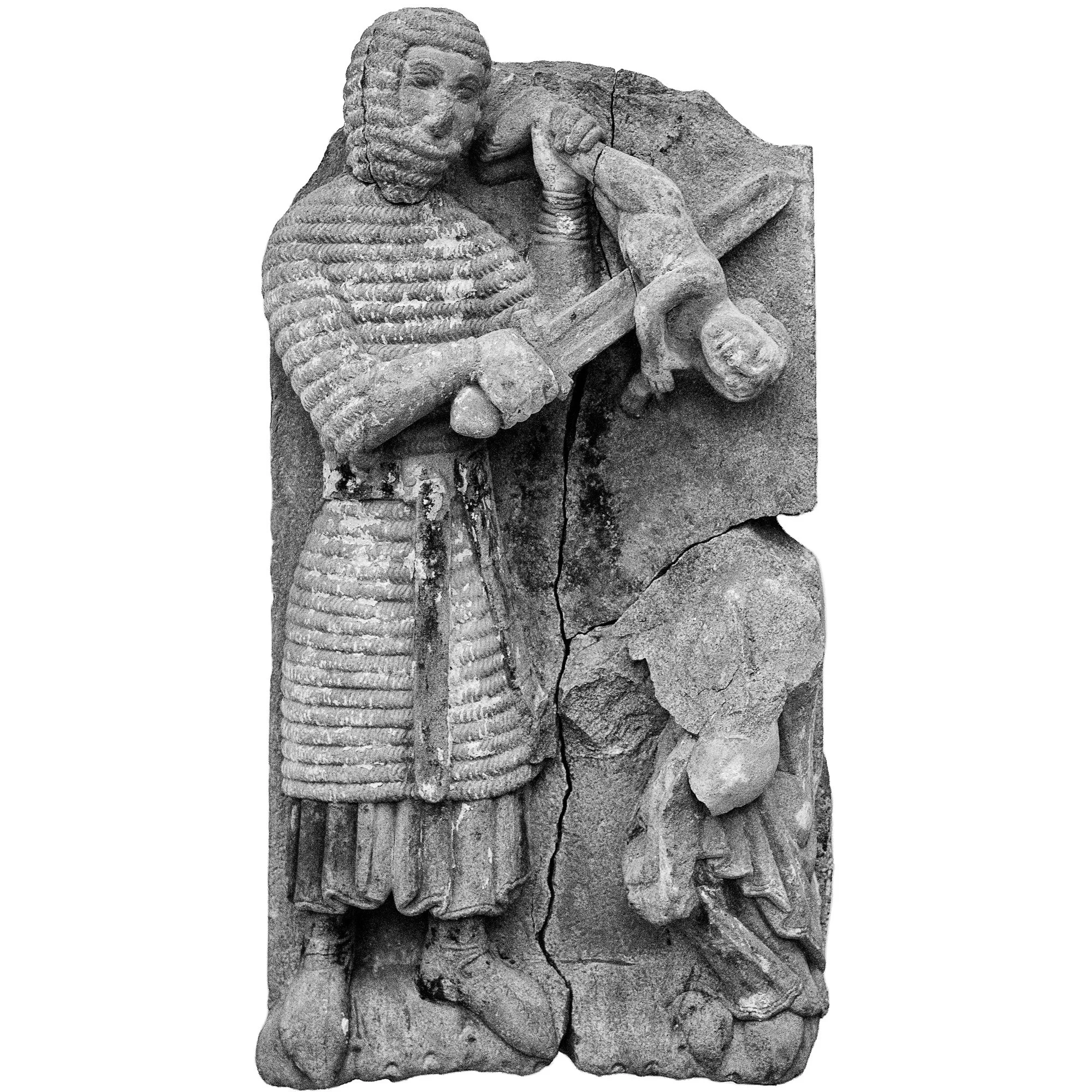
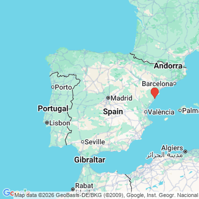
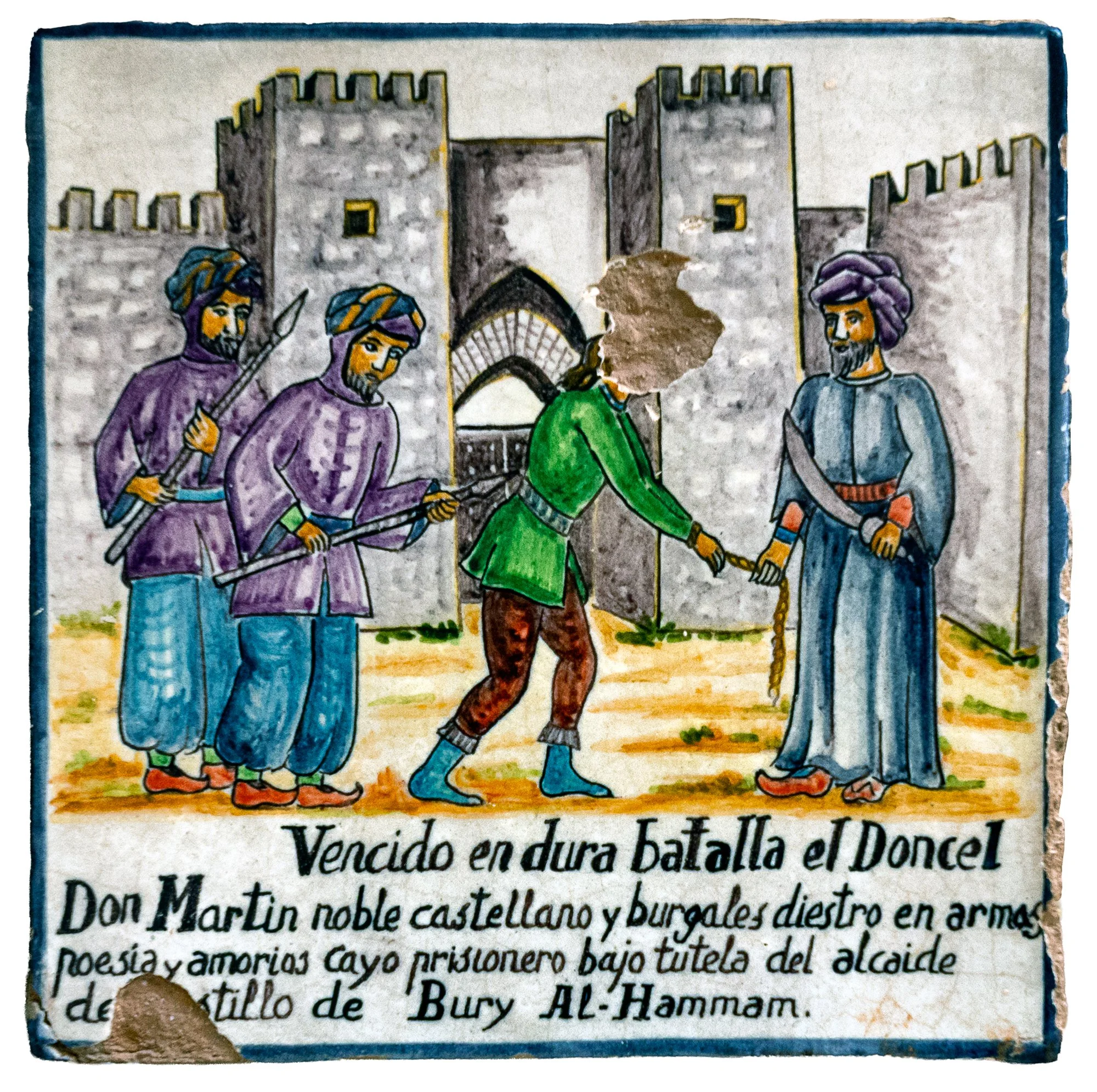
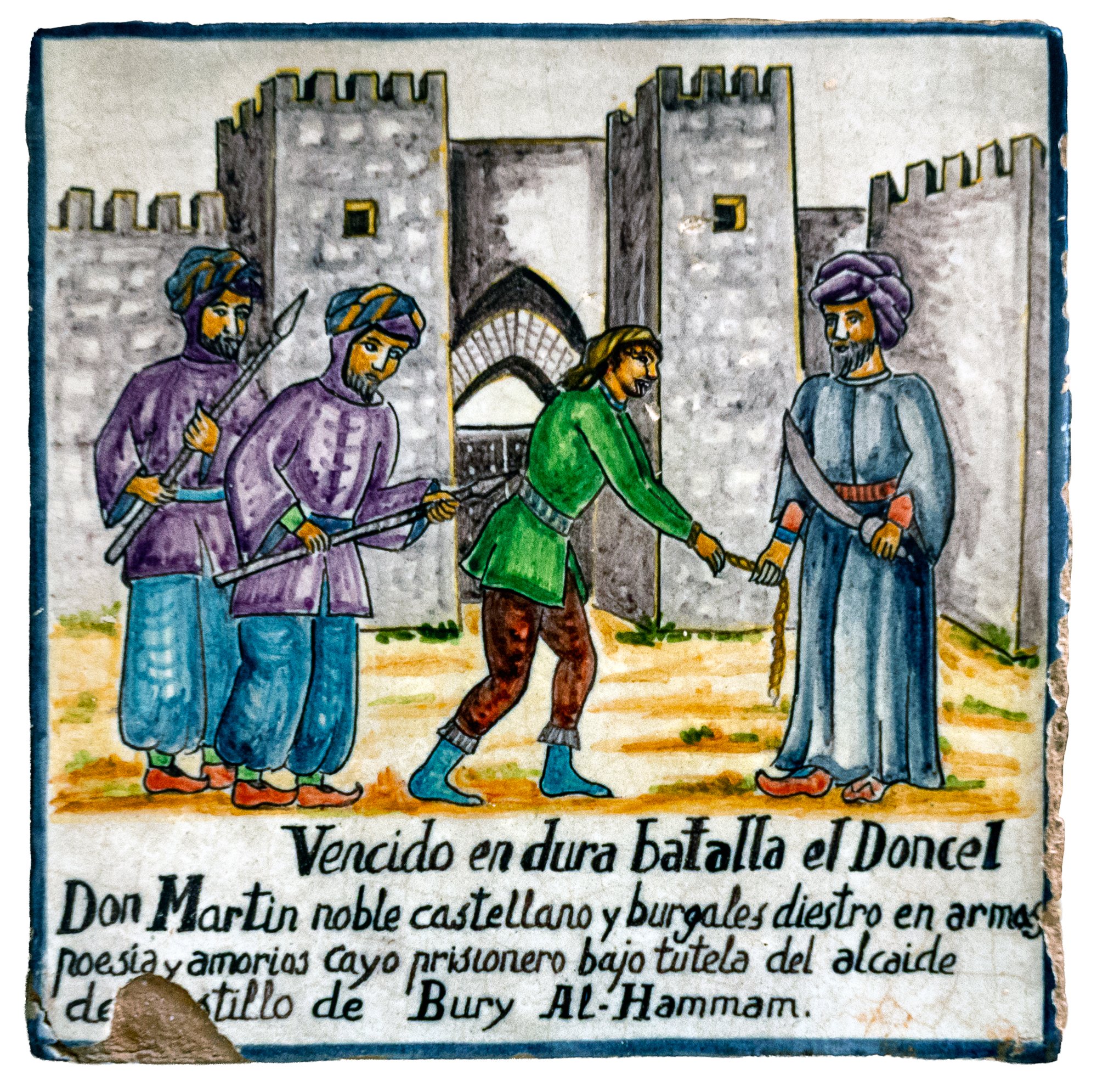
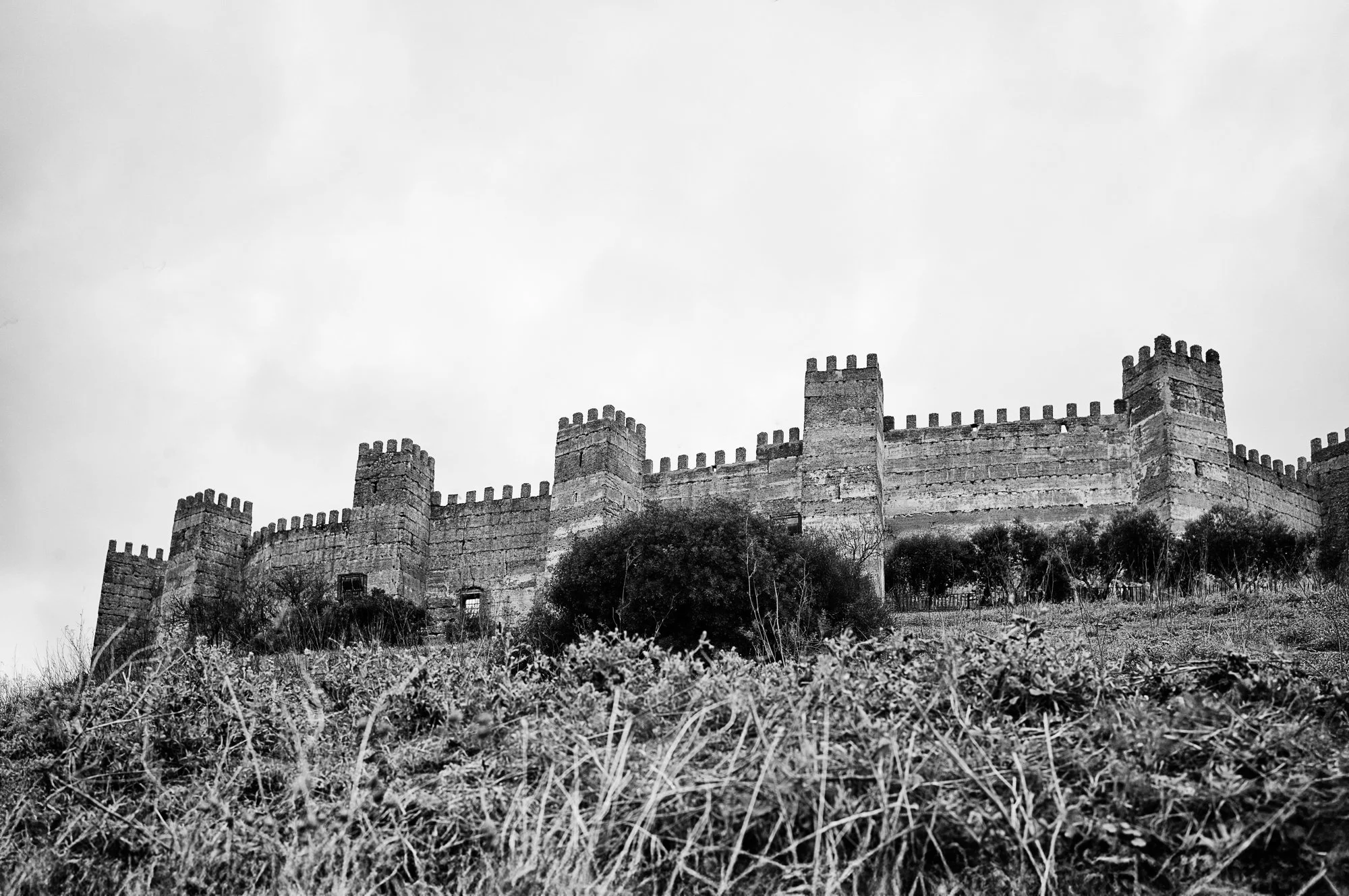
One of the great projects of their reign was the final phase of the Reconquista—the centuries-long effort to bring the Iberian Peninsula under Christian rule. By their time, only one Muslim kingdom remained: Granada.
The war for Granada lasted ten years, from 1482 to 1492. It was not just a military campaign, but a way of reshaping their kingdoms. It united competing nobles behind a common goal, strengthened royal authority, and reinforced their identity as defenders of the faith. Isabella saw it as a religious duty; Ferdinand as a strategic necessity. Together, they sustained a long and demanding campaign that ended with the surrender of Granada in 1492.
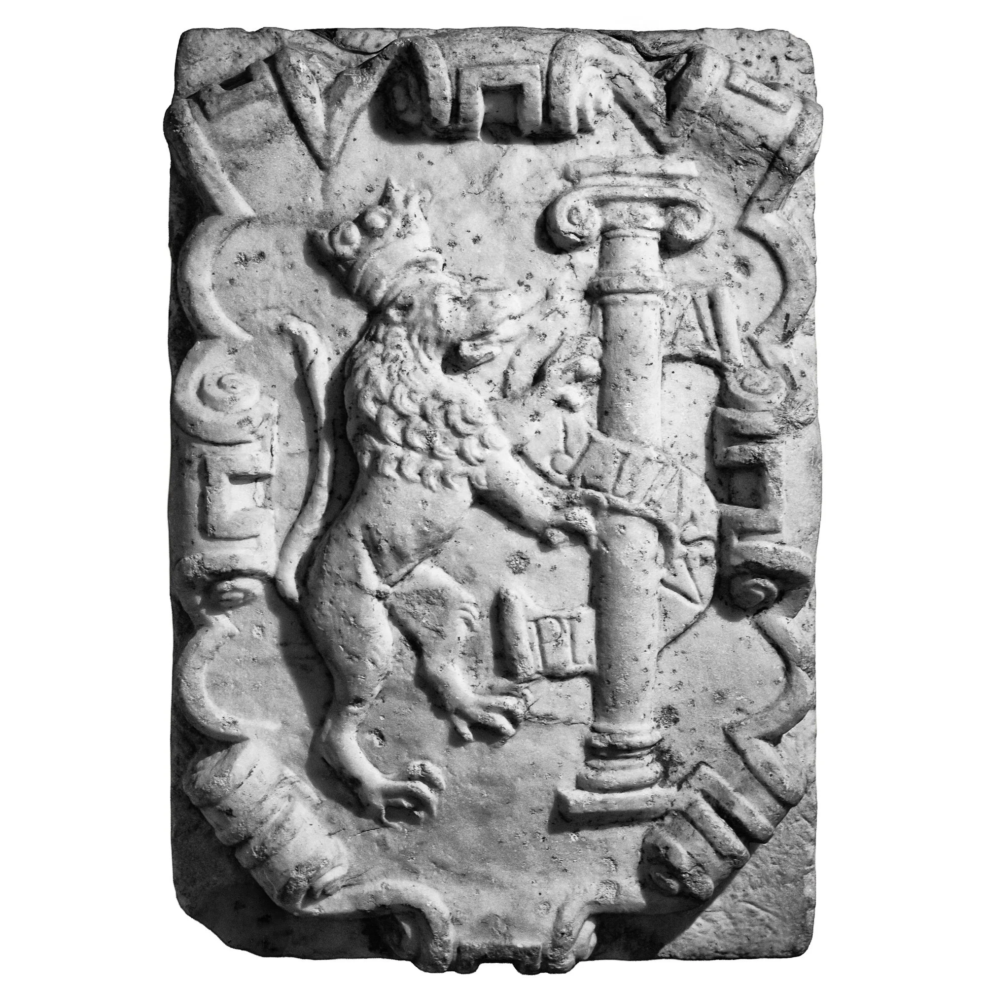
The victory was decisive. It marked the end of Muslim rule in Iberia and earned them recognition as the “Catholic Monarchs.” But it also deepened their commitment to religious unity within their realms. In the same year, Jewish communities were expelled, and mechanisms like the Inquisition became more central to enforcing conformity. Faith and power had become closely intertwined.
Yet 1492 was not only about looking inward. It was also the moment they began to look outward.
In that same year, they agreed to support the voyage of Christopher Columbus. His proposal—to reach Asia by sailing west—was uncertain and risky. Isabella hesitated, weighing the costs and the unknowns. But the timing mattered. With Granada conquered, they had the opportunity to expand their influence beyond Iberia. They were competing with Portugal for trade and territory. Columbus offered a chance, however uncertain, to gain an advantage.
The result was transformative. What began as an experiment opened the way to entirely new continents. Spain would soon become the center of a vast overseas empire. Isabella and Ferdinand had not set out to create a global empire, but their decision placed them at the start of one.
Family, Fragility, and a Lasting Legacy
For all their achievements, Isabella and Ferdinand never escaped the uncertainties they had known in youth. Their greatest concern became succession. They worked carefully to secure their dynasty, arranging marriages for their children across Europe. But their plans unraveled. Their only son died young, leaving their daughter Joanna as heir.
Joanna’s position quickly became complicated. Reports of emotional instability—whether real or politically exaggerated—made her vulnerable. After Isabella’s death in 1504, Joanna became queen of Castile in name, but power was contested. Ferdinand, now both father and political actor, chose stability over sentiment. He continued to govern, while Joanna was increasingly pushed aside.
The system Isabella and Ferdinand had built—so dependent on their cooperation—proved difficult to sustain without them. Factions formed, alliances shifted, and uncertainty returned.
And yet, their impact endured. They had restored royal authority in Castile, completed the Reconquista, and set Spain on a path beyond Europe. Most of all, they had changed the direction of their kingdoms—from inward struggle to outward expansion.
They did not create a finished nation. What they created was momentum.
A cautious young woman who learned to wait, and a pragmatic prince who learned to adapt, found a way to turn instability into opportunity. In doing so, they not only reshaped their own lands, but helped open a new chapter in world history.